SurveyTech Florida Blog
The Party With Better Documentation Wins: Aerial Progress Monitoring for Construction
August 8, 2026 · 3 min read · First published on the SurveyTech Florida LinkedIn page
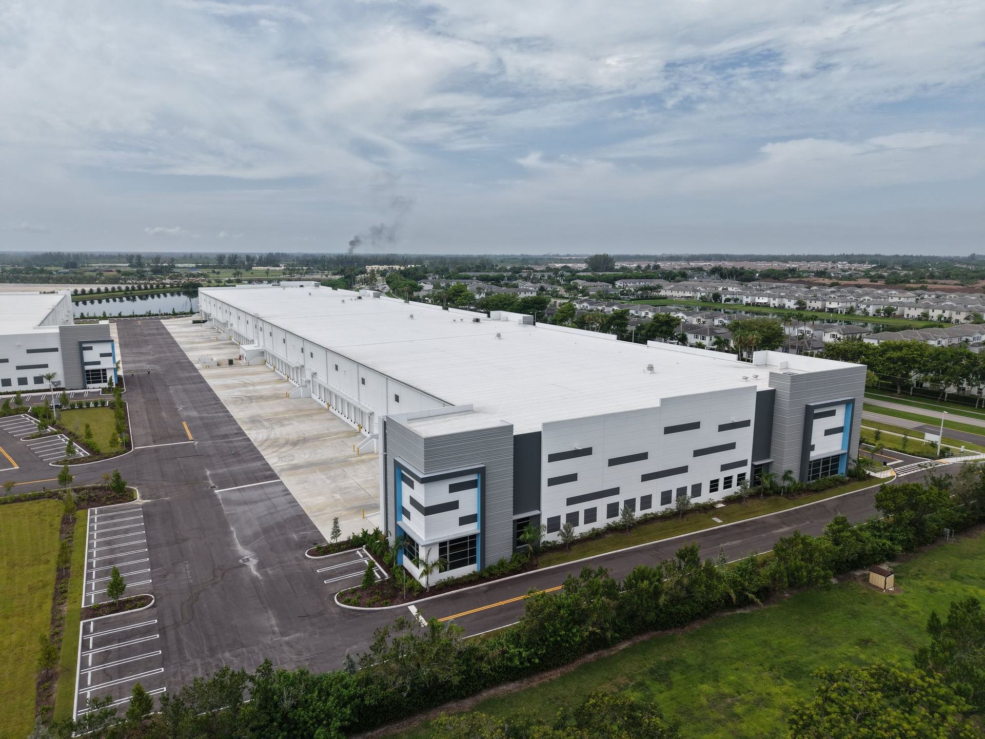
A disputed change order on a commercial project can run into six figures. When the dispute lands, the party with better documentation wins.
Most projects still rely on dated progress photos taken from the ground. They show what was in front of the camera on that day. They do not show the full site, they are rarely comparable week to week, and they almost never line up with the draw schedule.
What recurring aerial documentation produces
- →A full-site orthomosaic with measurable coverage, every flight
- →A timestamped record of work completed against schedule
- →Consistent documentation aligned to every draw request
- →A visual audit trail that holds up in dispute resolution
The flights repeat the same plan at the same parameters, so week eight is directly comparable to week one. No additional crew on site. No interference with active trades. Deliverables land within 24 hours of each flight.
Who uses it
General contractors and project owners use the record to manage subs and defend change orders. Construction lenders use it to verify draw requests without a site visit. Developers use it for stakeholder reporting and marketing, because the same capture that documents progress also shows the project at its best.
Cadence matches the project
Weekly during vertical phases, biweekly or monthly during longer cycles, and single-flight baselines before ground break or ahead of storm season. The cadence is set by what the record needs to prove, and every engagement is quoted by scope.
Put aerial data on your next project
Tell us the property type, the city, and what decision the data needs to support. We reply with a scoped quote, usually the same business day.